


OrbisMaps app for iPhone and iPad
Developer: Drill Maps LLC
First release : 27 Nov 2019
App size: 71.11 Mb
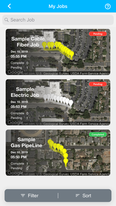
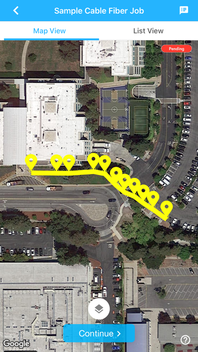
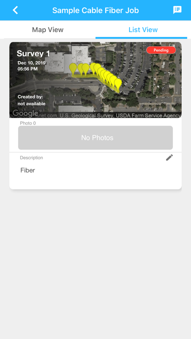
Using OrbisMaps you can Collect, aggregate, and share drilling and construction data with your team in real-time. Our multi platform cloud based infrastructure enables construction contractors to digitize their construction data, help surveyors collect survey data digitally and map them on Google maps in high accuracy also enabling them to create invoice digitally from our website.
OrbisMaps has offline data collection capability which helps contractors collect data offline in places where internet connection is spotty.
High Resolution maps: Collect data in high resolution on Google Maps
Manage Teams with Subscription: Manage teams with online roles based subscription model.
Share Team progress: Simultaneously work with your team members and review progress in real time on App or website in real time.
Invoicing: Invoice customers directly from our website.
Centimeter level accuracy: Collect data in centimeter level accuracy with RTK or correction from other devices.
Data Import: Import data from other systems.
Map Annotations: Draw directly on the map and share the details.
Photos: Take pictures for construction sites and share it with the team.
QR/Bar Codes: Scan QR/Bar codes directly from the app.
Custom Templates: Create custom templates for data collection to suit your needs.